Researching destinations and crafting your page…
4.8Overall Rating
5 monthsPeak Season
$50/dayBudget From
5Curated Articles
Top Highlights for Geology Interpretation in Teide
Geology Interpretation in Teide
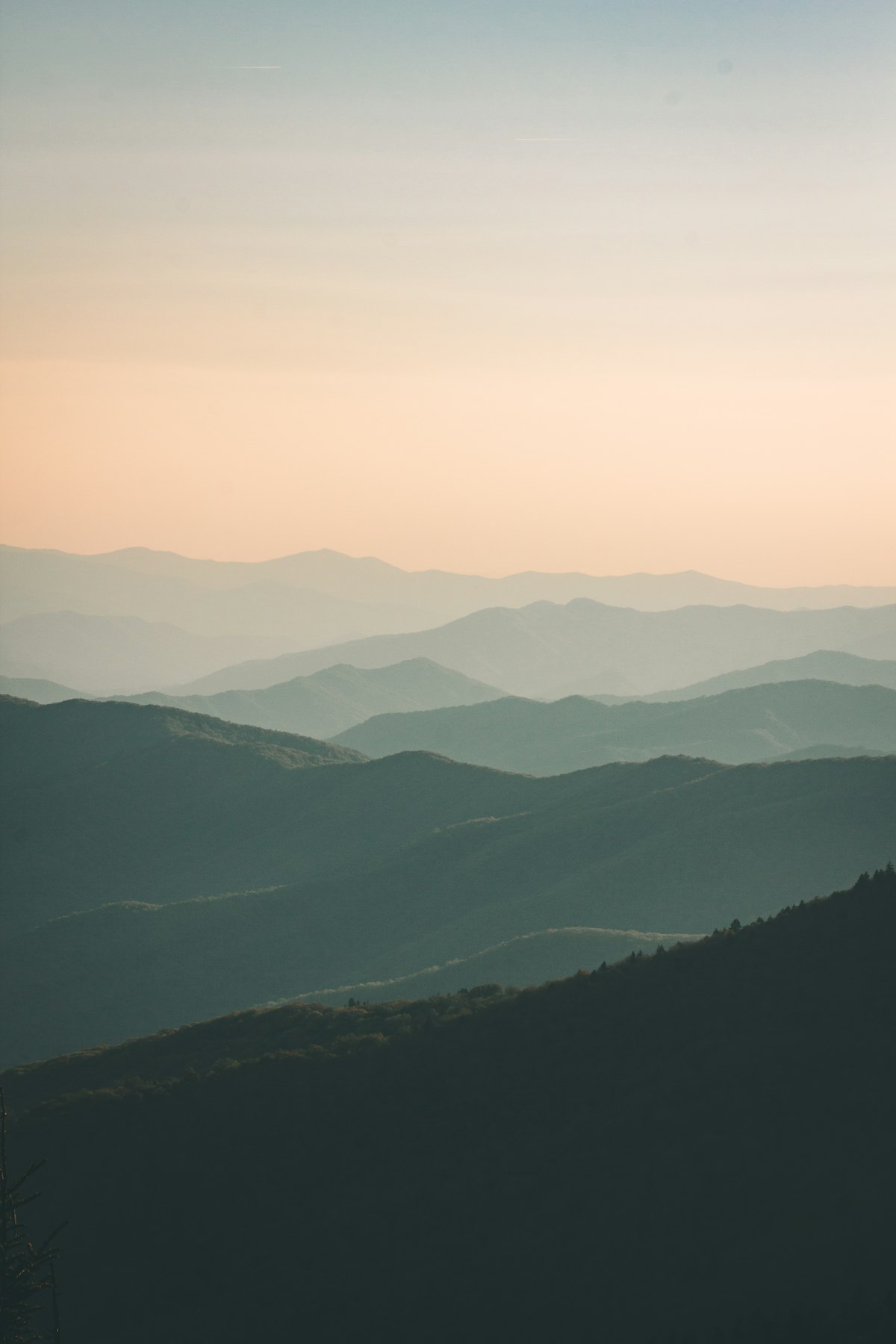
Teide National Park in Tenerife stands out for geology interpretation due to its active stratovolcano, Mount Teide at 3,718m Spain's highest peak, rising within the Las Cañadas caldera—a 16x9km collapse scar from an ancient edifice.[1][2] This setup reveals 3.5 million years of basaltic to phonolitic eruptions, with exposed walls displaying pyroclastic layers, dikes, and landslide debris.[2] Unique rift zones and fumaroles add live volcanic context unmatched in Europe.
Key pursuits include rim trails around Las Cañadas for caldera collapse theories, Roques de García for intrusive plugs, and Montaña Blanca hikes to Pico Viejo's crater.[1][2] Cable car ascents to 3,555m enable close views of summit cones and obsidian flows. Guided walks interpret seismic hazards and remote-sensing classifications of lava types.[3][5]
Spring and autumn offer mild 10–20°C days with low precipitation; winters bring snow, closing high trails.[1] Expect high UV, wind, and altitude effects—acclimatize over 2 days. Prepare with permits, water, and weather apps for sudden fog.
Local Canarian geologists lead interpretive centers at El Portillo, sharing oral histories of 1704–05 eruptions alongside scientific data. Guanches revered Teide as a cosmic pillar, influencing rock art motifs near trails. Community apps crowdsource recent tremor reports for authentic hazard insights.[3]
How to Do It Right
Decoding Teide's Volcanic Layers
Book cable car tickets online weeks ahead for peak months, as slots fill fast; permits for summit hikes above 3,555m require free application via national park website 30 days prior. Join guided geology tours from park visitor centers for expert interpretation of strata. Time visits for dawn to beat afternoon clouds obscuring features.
Acclimatize in Puerto de la Cruz before ascending to minimize altitude sickness at 3,718m. Pack layers for sudden weather shifts from sun to snow. Download offline maps and geology apps for real-time rock identification on trails.