Researching destinations and crafting your page…
4.5Overall Rating
3 monthsPeak Season
$50/dayBudget From
5Curated Articles
Top Highlights for Mountain Trekking in Shinetsu Trail
Mountain Trekking in Shinetsu Trail
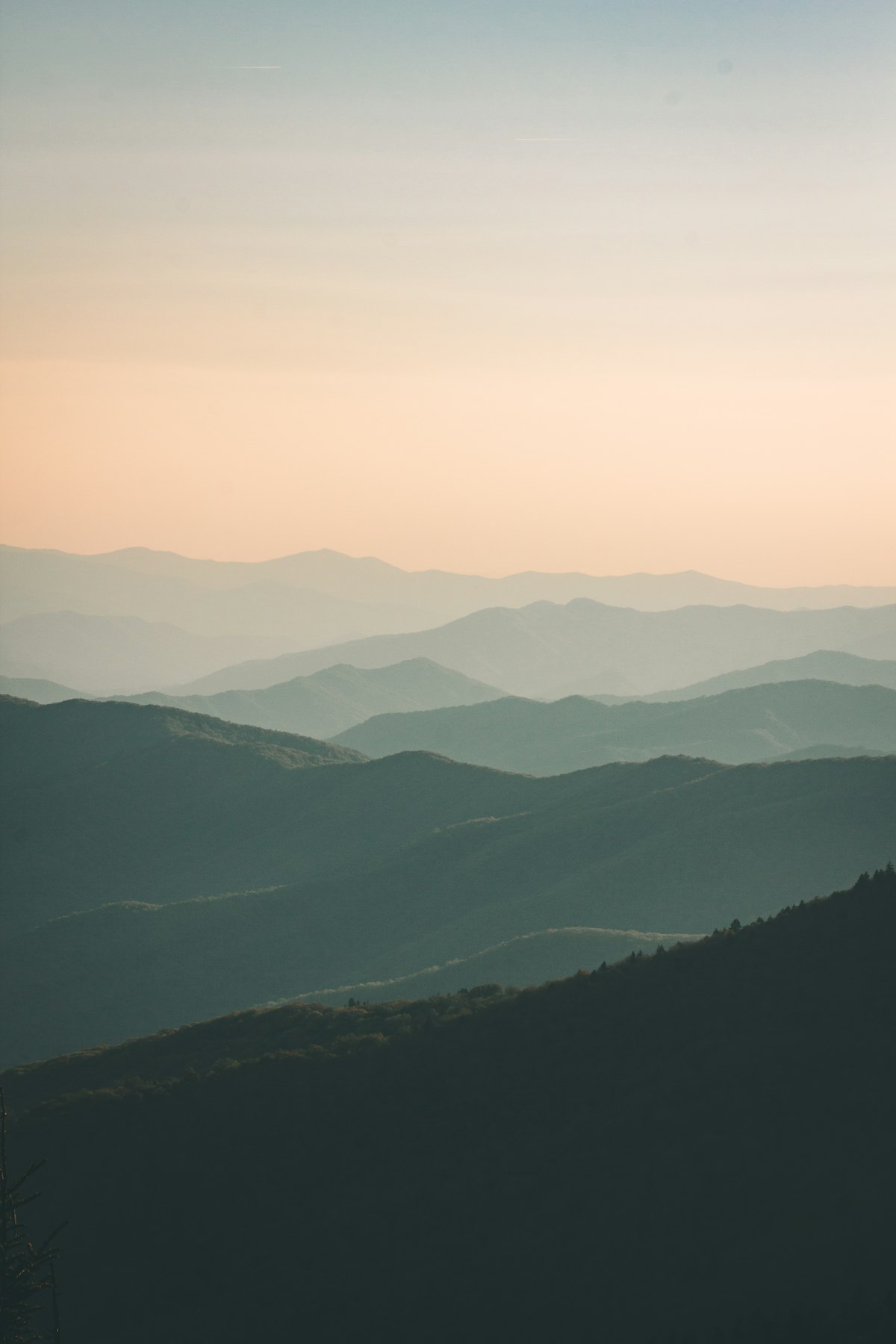
The Shinetsu Trail stands out for mountain-trekking with its 110km route along the Sekida range's ridges, linking Nagano and Niigata prefectures since 2008. Hikers navigate historic paths through primeval beech and cedar forests, marshlands, and villages, far from crowded tourist spots. Continuous 1,000m elevations deliver nonstop views of valleys, peaks, and the Sea of Japan, blending wild nature with rural Japan.[2][3][6]
Core experiences span ten sections: early climbs like Mount Madarao and Daimyojin, mid-trail ridge walks through Sections 4-6's deep forests, and village passes in Sections 7-9 before the brutal Naeba finale. Expect 10-12km per day with moderate elevation changes, campsites at Aka Ike Pond, and ryokan endpoints. Thru-hikes suit fit beginners, with shuttles easing section-hopping.[1][4][5]
Peak seasons run May-June for greenery and October for autumn colors; avoid July-August heat and December-April snow. Conditions mix mud after rain, rocky steeps, and exposed ridges—prepare for 5-8 hour days. Pack mountaineering essentials, secure transport from Iiyama, and gauge fitness for Naeba's 2,000m gain.[2][3][7]
Local villages like Sakae and Akiyamago reveal satoyama life where forests meet farms, with ryokans serving regional cuisine post-hike. Communities maintain the trail as a cultural lifeline, offering glimpses of historic passes used for centuries. Engage insiders at trailheads for tips on hidden hot springs and foraged edibles.[3][4]
How to Do It Right
Mastering Shinetsu Trail Treks
Plan for 7-10 days to cover all 110km in 10 sections, starting from Mount Madarao; book guided tours via operators like Great Hikes Japan for logistics including shuttles and ryokan stays. Time visits for May-June or October to dodge summer heat and winter snow; check official trail site for section closures due to weather. Reserve transport from Iiyama Station ahead, as public buses run infrequently.[1][7]
Train for steep ascents and descents with 10-12km daily distances at 1,000m altitude; pack for variable weather including rain gear for muddy slopes. Carry water purification as sources are limited; inform ryokan of arrival times for pickups. Practice navigation with maps, as signage is basic outside main paths.[2][7]