Researching destinations and crafting your page…
4.8Overall Rating
3 monthsPeak Season
$100/dayBudget From
5Curated Articles
Top Highlights for Hiking Rifts in Golden Circle
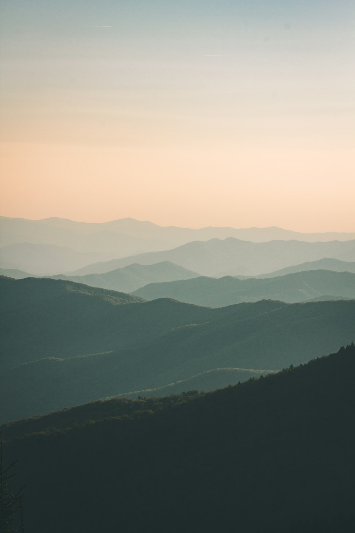
Hiking Rifts in Golden Circle
Iceland's Golden Circle stands out for hiking rifts due to its position atop the Mid-Atlantic Ridge, where the North American and Eurasian plates pull apart, creating walkable fissures like Silfra at Thingvellir. This 300 km loop from Reykjavík packs tectonic drama, geysers, and waterfalls into accessible trails unlike anywhere else. Hikers tread living geology, feeling the earth's slow split underfoot.[1][2][4]
Prime experiences include the Rift Trail at Thingvellir for plate-boundary views, Gullfoss's canyon descent for waterfall immersion, and Strokkur's steaming loops amid geothermal pools. Detours like Kerið Crater add volcanic hikes, while longer paths to Öxarárfoss reveal lush rifts. Trails range from paved 1 km loops to moderate 5 km valley walks.[2][5]
June–August brings mild 10–15°C days, dry paths, and 20+ hours of light; shoulders like May offer fewer crowds but cooler winds. Expect variable rain, wind, and mud—trails close in winter ice. Prepare with rentals for 4x4 if venturing off main routes.[1][3]
Local guides emphasize Thingvellir's Viking parliament legacy, where rifts hosted ancient laws; communities promote sustainable hiking to preserve fragile moss. Insiders favor early mornings for solitude, sharing stories of tectonic shifts shaping Icelandic identity.[2][4]
How to Do It Right
Mastering Golden Circle Rifts
Plan a full day for the 230–300 km loop starting from Reykjavík, booking guided tours if new to Icelandic roads. Summer offers midnight sun for extended hiking; check road.is for weather closures. Reserve park entry or snorkel tours at Thingvellir in advance during peak season.[1][2]
Pack layers for sudden wind and rain, even in summer, and sturdy waterproof boots for wet trails. Download offline maps and carry snacks, as facilities are sparse between stops. Respect barriers at rifts and falls to avoid slips on slick rocks.[1][4]