Researching destinations and crafting your page…
4.7Overall Rating
4 monthsPeak Season
$40/dayBudget From
5Curated Articles
Top Highlights for Geology Field Studies in Danxia Landforms
Geology Field Studies in Danxia Landforms
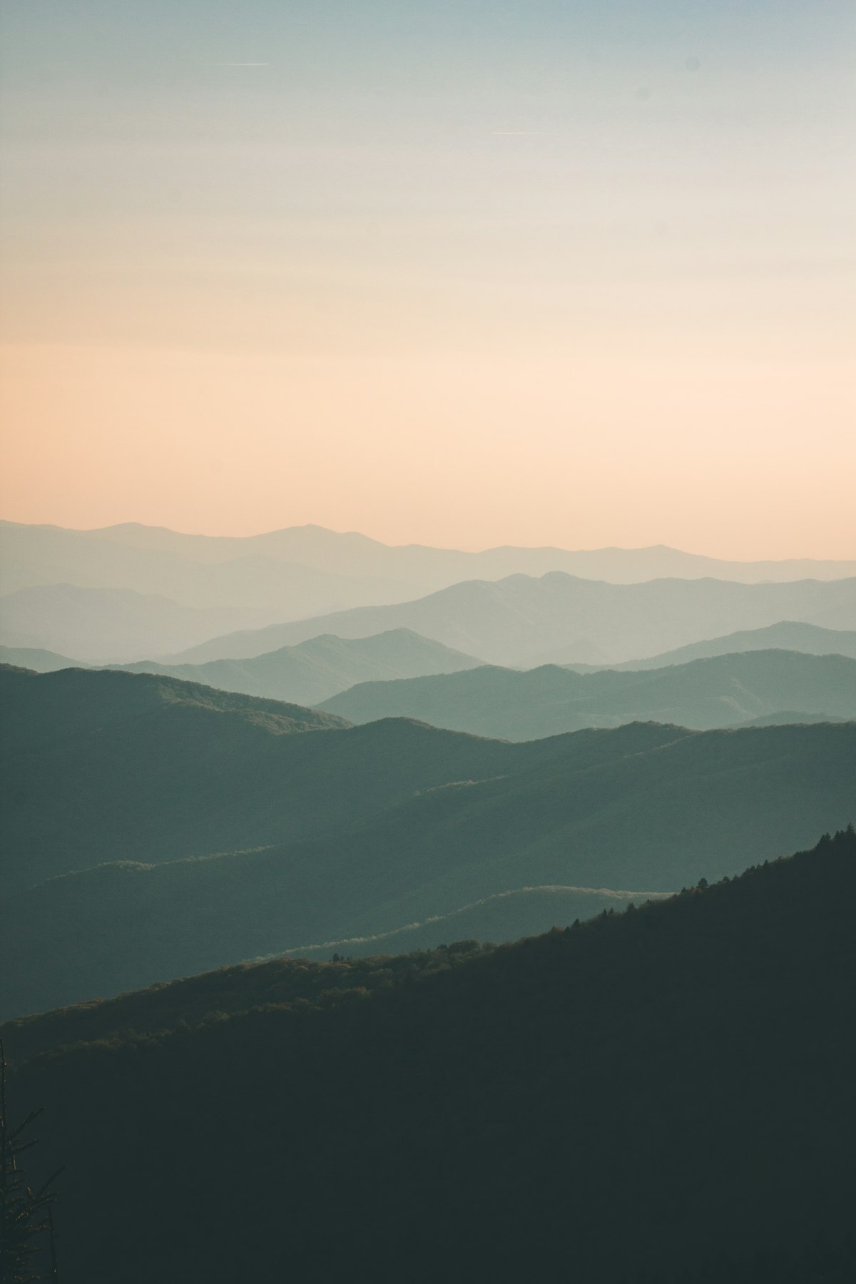
Danxia landforms represent one of Earth's most instructive geological laboratories, showcasing the interplay between massive tectonic uplift, differential erosion, and mineral chemistry across landscapes spanning 80 million years of continental history. These red-bed formations, unique to China and featuring steep cliffs carved from Cretaceous sandstones and conglomerates, resemble karst topography but have been classified as "pseudo-karst" due to their resilience and distinct formation pathways. The Genesis of Danxia involves endogenous forces—including Himalayan-range-driven uplift roughly 23 million years ago—combined with exogenous processes of weathering and stream incision that continue to reshape the scarps and valleys visible today. For geology students and field researchers, Danxia offers unobstructed access to three-dimensional stratigraphic sequences, fault systems, and iron oxide mineralization patterns that cannot be observed in classroom settings or through subsurface data alone.
The three primary Danxia study regions span southeast China (Jiangxi, Fujian, Zhejiang, Hunan, Guangxi), southwest transitional zones (Yunnan-Guizhou Plateau), and northwest areas (Gansu, Qinghai). The Zhangye Danxia Geological Park in Gansu is the most accessible for first-time visitors, offering panoramic views of polychromatic formations and established research infrastructure. Mount Danxia near Shaoguan remains the academic epicenter, where institutional partnerships enable extended field campaigns and permit access to restricted research zones. Secondary sites include vertical caverns, natural bridges, and escarpment exposures throughout South Sichuan that reveal ongoing erosional processes and tectonic signatures less visible at heavily developed parks. Multi-week expeditions can encompass comparisons across regional variations, providing comprehensive understanding of how local climate, fault architecture, and lithology influence landform expression.
October through May defines the optimal research window, with October and November offering stable temperatures (15–25°C in lower elevations), minimal precipitation, and exceptional visibility for photogrammetry and sample documentation. Expect steep terrain, exposure to direct sun, and rockfall risks on actively eroding scarps; all fieldwork requires sturdy footwear, sun protection, and constant awareness of unstable ledges. Park infrastructure ranges from excellent (paved viewpoints, visitor centers, shuttle buses at Zhangye) to minimal (unmarked trails in South Sichuan requiring local guides). Pre-arrival logistics include securing necessary permits (Chinese research visa, park entry permits, sample export documentation), arranging transportation via high-speed rail or domestic flights, and coordinating with local universities or geological survey offices to access restricted areas and borrow specialized instruments.
Chinese academic institutions, particularly Sun Yat-sen University and regional geological survey bureaus, maintain ongoing research programs at major Danxia sites and welcome qualified international researchers through formal collaboration agreements. Local park staff and village guides possess decades of observational knowledge about seasonal erosion patterns, flashflood hazards, and stable routes unavailable in published materials. The concept of Danxia itself originated with Chinese earth scientists and remains central to Chinese geological education, meaning your fieldwork participates in a continuous intellectual lineage stretching back to early studies at Mount Danxia. Engaging with local research communities provides insights into applied conservation efforts, as UNESCO World Heritage designations have spurred monitoring programs to document active landscape evolution and climate-change impacts on erosion rates.
How to Do It Right
Preparing for Danxia Geological Field Study
Plan your visit during October through May when temperatures remain moderate and visibility is highest; avoid summer monsoons and winter snow in higher elevations. Book guided field programs through university geology departments or licensed operators 6–8 weeks in advance, particularly if you require specialized equipment like GPS units, stratigraphic measuring tools, or sample collection permits. Confirm all park permits and restrictions directly with site authorities, as access to active research zones may require institutional affiliation or prior arrangement.
Arrive with detailed topographic maps, geological survey reports, and stratigraphic references specific to your target formations. Bring substantial water (3+ liters per person daily), high-SPF sunscreen, and durable hiking boots with excellent grip—many Danxia slopes present significant slip hazards even when dry. Acclimatize for 2–3 days before intense fieldwork if traveling from sea level to higher elevations, and arrange accommodation within 30 kilometers of your study sites to maximize productive hours.